Arab Finance: Egypt is preparing to begin an offshore seismic survey covering approximately 18,000 square kilometers of its Eastern Mediterranean waters within two weeks, Minister of Petroleum and Mineral Resources Karim Badawi said.
The first phase will use Ocean Bottom Node (OBN) technology to gather more precise geological data, identify potential natural gas exploration opportunities, attract investment, and accelerate exploration decisions.
The Egyptian Natural Gas Holding Company (EGAS) is implementing the project with a consortium comprising Houston-based energy technology company SLB and France-based geoscience technology company Viridien. It forms part of a broader seismic survey program targeting 95,000 square kilometers of Egyptian waters in the Eastern Mediterranean, aimed at building an extensive database to assess undiscovered hydrocarbon resources and support their development.
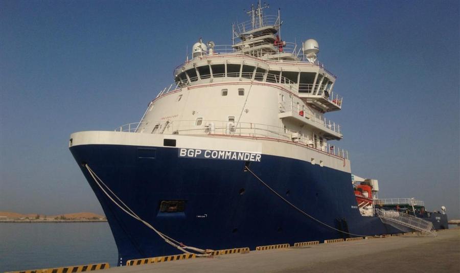
Preparations are underway after the offshore operations vessel Commander arrived in Port Said. It is the first vessel assigned to the project, with two others expected to join before survey and data collection activities proceed under the implementation plan.
Operations are scheduled to begin in the Denis areas off Port Said and Ras El Bar and continue there through the end of 2026. Alongside the first phase, the consortium is completing technical and logistical arrangements for survey work to continue throughout 2027, ensuring the ongoing deployment of vessels and marine equipment.
Badawi stressed the project's importance as a component of Egypt’s exploration efforts, using advanced data collection and analysis to improve understanding of subsea geological formations and identify the most promising areas for gas exploration, adding that the findings would help international companies assess opportunities to expand investment in exploration and production.
The minister explained that OBN technology improves seismic imaging, particularly in areas where complex geological structures require more sophisticated surveying techniques. Clearer subsurface images would support more accurate identification of exploration targets and better selection of drilling locations.
Higher-quality data would also reduce the technical risks associated with exploration, helping direct investment toward the most viable prospects, he added.
Beyond gathering seismic readings, the project aims to turn processed and interpreted data into investment opportunities supported by detailed technical information. Badawi noted this would help international companies make investment decisions, encourage larger exploratory drilling programs, and improve the prospects for discoveries that could support domestic natural gas production.